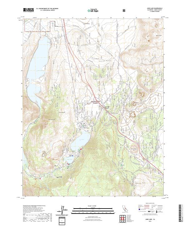
2021 Map of June Lake
USGS Topo · Published 2021About this map
June Lake and the smaller Gull Lake are the centerpiece of this eastern Sierra Nevada landscape, tucked within the Inyo National Forest. The map documents a topography shaped by dramatic volcanic activity, from the prominent Obsidian Dome and Mono Craters to the Aeolian Buttes and the debris-filled Crater Mtn Flats. The settlement of June Lake sits at the foot of Reversed Peak, while the network of roads, including the June Lake Loop Rd, traces the glacial canyons and lake margins that have long drawn visitors to the area.
Find a feature on this map
63 named features on this map. Tap any name to fly to it.
Don’t see what you’re looking for? This feature index may not catch every label — zoom into the map to look around manually.
Map Details
Editions of this 2021 June Lake Map
This is the sole edition of this map. No revisions or reprints were ever made.
Other maps of this area

1901 · Mt. Lyell
USGS Topo · 1:125,000

1914 · Mt. Morrison
USGS Topo · 1:125,000

1947 · Mariposa
USGS Topo · 1:250,000

1948 · Mariposa
USGS Topo · 1:250,000

1953 · Mt. Morrison
USGS Topo · 1:62,500

1953 · Mono Craters
USGS Topo · 1:62,500

1953 · Devils Postpile
USGS Topo · 1:62,500

1957 · Mariposa
USGS Topo · 1:250,000

1962 · Cowtrack Mtn
USGS Topo · 1:62,500

1963 · Mariposa
USGS Topo · 1:250,000