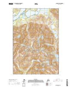
2017 Map of Juneau D-6 SW
USGS Topo · Published 2017About this map
Glacier Bay National Park dominates this terrain, showcasing a landscape defined by dramatic elevation and glacial activity in the southeastern panhandle. High peaks such as Mt Case rise above the surrounding ice fields, providing essential landmarks for navigation and geographic study in this wilderness area. The movement of ice is a primary feature of the environment, with the White Glacier and Adams Glacier carving deep into the topography. This 2017 survey illustrates the complex relationship between alpine glaciers and the coastal mountain ranges, marking the positions of these shifting ice masses at the beginning of the twenty-first century for researchers and cartographers.
Find a feature on this map
10 named features on this map. Tap any name to fly to it.
Don’t see what you’re looking for? This feature index may not catch every label — zoom into the map to look around manually.
Map Details
Editions of this 2017 Juneau D-6 SW Map
This is the sole edition of this map. No revisions or reprints were ever made.
Other maps of this area

1948 · Juneau C-6
USGS Topo · 1:63,360

1948 · Mount Fairweather D-1
USGS Topo · 1:63,360

1948 · Mount Fairweather C-1
USGS Topo · 1:63,360

1949 · Mount Fairweather C-1
USGS Topo · 1:63,360

1949 · Juneau D-6
USGS Topo · 1:63,360

1950 · Juneau C-6
USGS Topo · 1:63,360

1951 · Juneau
USGS Topo · 1:250,000

1951 · Mt Fairweather
USGS Topo · 1:250,000

1954 · Mount Fairweather D-1
USGS Topo · 1:63,360

1961 · Mt Fairweather
USGS Topo · 1:250,000