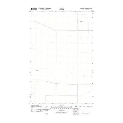
2010 Map of Juneberry Ridge
USGS Topo · Published 2010About this map
Juneberry Ridge and Moose Point define the subtle, low-lying topography of this Roseau County landscape in the northernmost reaches of Minnesota. The area is characterized by a high-latitude drainage pattern, with the Middle Branch Two Rivers slowly winding through a terrain defined by widely spaced section lines and sparse infrastructure. Apart from the north-south corridor of County Hwy-7, the region appears largely undeveloped, consisting of expansive open lands typical of the Red River Valley’s eastern edge. This 2010 survey reflects the remote, utilitarian character of the borderlands, where geography is marked more by small changes in elevation and drainage than by dense human settlement.
Find a feature on this map
4 named features on this map. Tap any name to fly to it.
Don’t see what you’re looking for? This feature index may not catch every label — zoom into the map to look around manually.
Map Details
Editions of this 2010 Juneberry Ridge Map
This is the sole edition of this map. No revisions or reprints were ever made.
Other maps of this area

1918 · Hemmington
USGS Topo · 1:62,500

1919 · Pelan
USGS Topo · 1:62,500

1930 · Juneberry
USGS Topo · 1:31,680

1932 · Juneberry
USGS Topo · 1:62,500

1952 · Thief River Falls
USGS Topo · 1:250,000

1956 · Thief River Falls
USGS Topo · 1:250,000

1956 · Karlstad
USGS Topo · 1:62,500

1957 · Thief River Falls
USGS Topo · 1:250,000

1957 · Pelan
USGS Topo · 1:62,500

1966 · Caribou
USGS Topo · 1:24,000