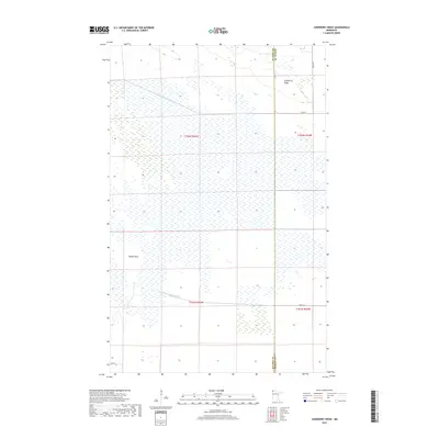
2019 Map of Juneberry Ridge
USGS Topo · Published 2019About this map
Juneberry Ridge and Moose Point define this portion of northern Minnesota, where the landscape is shaped by an extensive network of drainage infrastructure near the Canadian border. The dominance of State Ditch Number Seventy-two and State Ditch Number Fifty illustrates the massive engineering efforts required to manage the wetlands and peatlands of the Red River Valley watershed. This modern 2019 survey captures the region's character as a frontier of agricultural land reclamation and managed wilderness. The terrain is sparsely populated, organized by a rigid grid of rural routes including Co Hwy 7 and Co Rd 24 which cross the boundary between Kittson County and Roseau County. This map is a record of the persistent geometry of the Public Land Survey System, showing how legal boundaries like t162n r45w dictate the movement of roads and the management of the water across the plains.
Find a feature on this map
14 named features on this map. Tap any name to fly to it.
Don’t see what you’re looking for? This feature index may not catch every label — zoom into the map to look around manually.
Map Details
Editions of this 2019 Juneberry Ridge Map
This is the sole edition of this map. No revisions or reprints were ever made.
Other maps of this area

1918 · Hemmington
USGS Topo · 1:62,500

1919 · Pelan
USGS Topo · 1:62,500

1930 · Juneberry
USGS Topo · 1:31,680

1932 · Juneberry
USGS Topo · 1:62,500

1952 · Thief River Falls
USGS Topo · 1:250,000

1956 · Thief River Falls
USGS Topo · 1:250,000

1956 · Karlstad
USGS Topo · 1:62,500

1957 · Thief River Falls
USGS Topo · 1:250,000

1957 · Pelan
USGS Topo · 1:62,500

1966 · Caribou
USGS Topo · 1:24,000