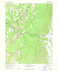
1969 Map of Junior
USGS Topo · Published 1971About this map
Tygart Valley River snakes through the high country of the Barbour and Randolph county line, defining a landscape shaped by coal extraction and rail transport during the late 1960s. The river corridor serves as a focal point for industry and settlement, with the Western Maryland and Baltimore and Ohio railroads following the winding water gaps. Evidence of the region's economy is prominent, with numerous strip mines dotting the ridges above Harding and Junior.
Find a feature on this map
41 named features on this map. Tap any name to fly to it.
Don’t see what you’re looking for? This feature index may not catch every label — zoom into the map to look around manually.
Map Details
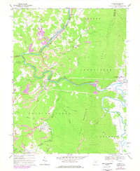
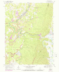
Editions of this 1969 Junior Map
3 editions found
Other maps of this area

1886 · St. George
USGS Topo · 1:125,000

1889 · Beverly
USGS Topo · 1:125,000

1891 · St. George
USGS Topo · 1:125,000

1892 · Beverly
USGS Topo · 1:125,000

1893 · Buckhannon
USGS Topo · 1:125,000

1896 · Buckhannon
USGS Topo · 1:125,000

1897 · Buckhannon
USGS Topo · 1:125,000

1904 · Philippi
USGS Topo · 1:62,500

1907 · Belington
USGS Topo · 1:62,500

1909 · Elkins
USGS Topo · 1:62,500