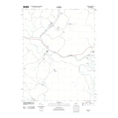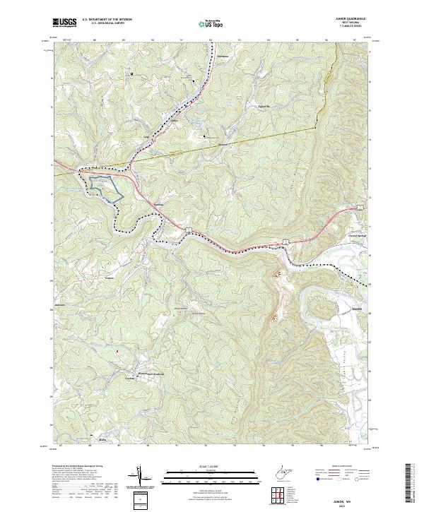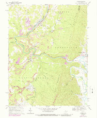
1969 Map of Junior
USGS Topo · Published 1988About this map
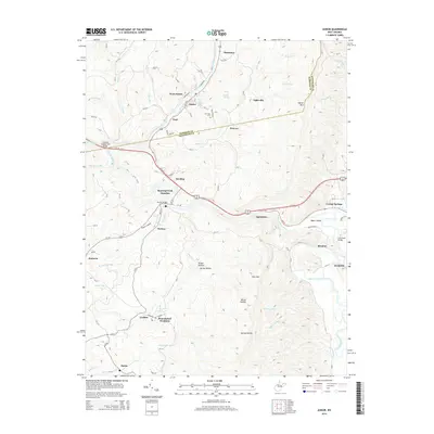
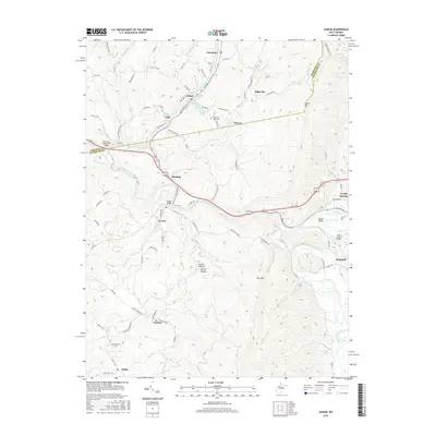
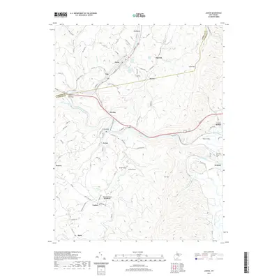
The Tygart Valley River snakes through the heart of the West Virginia coal fields, carving a path between Barker Mountain and Laurel Ridge. This late 1960s landscape is defined by its industrial character, with extensive Strip Mine operations scattered throughout the hills. Small company towns and rail stops like Junior, Harding, and Coalton dot the valleys, connected by the Baltimore and Ohio and the Maryland Western RR. Local community life is grounded in landmarks such as Trinity Ch and the Mountain View Cem. Along the highway near Crystal Springs, later-century developments appear including a Drive-in Theater and a Trailer Park. The topography reveals the tight relationship between the river, the winding rail lines, and the Tipple sites that served as the economic backbone of this Randolph and Barbour County region.
Find a feature on this map
53 named features on this map. Tap any name to fly to it.
Don’t see what you’re looking for? This feature index may not catch every label — zoom into the map to look around manually.
Map Details
Editions of this 1969 Junior Map
3 editions found
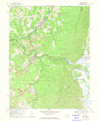
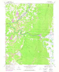
Historical Maps of Junior Through Time
6 maps found