
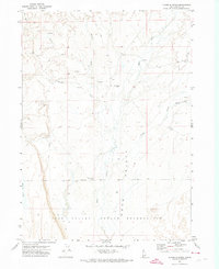
1971 Map of Juniper Basin SE
USGS Topo · Published 1974About this map
Duck Valley and the surrounding high plateau of Owyhee County define this 1971 survey, where the Owyhee River carves a deep winding course across the Idaho-Nevada border. This arid landscape is managed through an extensive network of water catchments and stock improvements, visible in the numerous named basins such as Cleveland Reservoir, Jackson Reservoir, and Mud Reservoir. The southern portion of the map is dominated by the Indian Reservation boundary, illustrating the jurisdictional layout of the region during the early 1970s.
Find a feature on this map
20 named features on this map. Tap any name to fly to it.
Don’t see what you’re looking for? This feature index may not catch every label — zoom into the map to look around manually.
Map Details
Editions of this 1971 Juniper Basin SE Map
This is the sole edition of this map. No revisions or reprints were ever made.
Other maps of this area

1939 · Owyhee
USGS Topo · 1:62,500

1942 · Owyhee
USGS Topo · 1:62,500

1955 · McDermitt
USGS Topo · 1:250,000

1955 · Jordan Valley
USGS Topo · 1:250,000

1957 · Jordan Valley
USGS Topo · 1:250,000

1958 · Jordan Valley
USGS Topo · 1:250,000

1959 · McDermitt
USGS Topo · 1:250,000

1964 · Hat Peak
USGS Topo · 1:62,500

1971 · Juniper Basin
USGS Topo · 1:24,000
1971 · Flying H Ranch
USGS Topo · 1:24,000