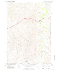
1972 Map of Juniper Draw
USGS Topo · Published 1975About this map
The Powder River cuts a prominent path through this Johnson County landscape, creating a fertile corridor flanked by intricate drainage systems. In the early 1970s, this area was defined by its water management and livestock-supporting infrastructure, evidenced by the presence of Petes Reservoir and numerous flowing wells along the river valley. The map documents the vital connection provided by the Schoonover Road and its crossing at Schoonover Bridge, linking the eastern river banks to the higher elevations near Monument Hill. A series of distinctive flats and draws, such as Nines Flat and Big Mikes Flat, illustrate the grazing patterns and local geography of the region. This survey also highlights the modern industrial overlay on the land, including a large pipeline and several jeep trails that traverse the divide between Indian Creek and Juniper Draw.
Find a feature on this map
20 named features on this map. Tap any name to fly to it.
Don’t see what you’re looking for? This feature index may not catch every label — zoom into the map to look around manually.
Map Details
Editions of this 1972 Juniper Draw Map
This is the sole edition of this map. No revisions or reprints were ever made.
Other maps of this area

1955 · Sheridan
USGS Topo · 1:250,000

1958 · Sheridan
USGS Topo · 1:250,000

1962 · Sheridan
USGS Topo · 1:250,000
1972 · Ploessers Draw
USGS Topo · 1:24,000
1972 · Laskie Draw
USGS Topo · 1:24,000
1972 · Bear Draw
USGS Topo · 1:24,000
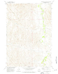
1972 · Somerville Flats West
USGS Topo · 1:24,000
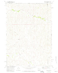
1972 · Negro Butte
USGS Topo · 1:24,000
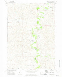
1972 · Bowman Flat
USGS Topo · 1:24,000
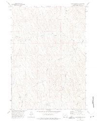
1972 · Coyer Reservoir
USGS Topo · 1:24,000