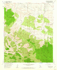
1959 Map of Juniper Hills
USGS Topo · Published 1960About this map
The San Andreas Rift Zone slices through the northern portion of this landscape, creating a distinct geological break between the high ridges of the Angeles National Forest and the desert-edge settlements. In the late 1950s, Juniper Hills and Cima Mesa represent the primary residential clusters, linked by a network of thoroughfares like Fort Tejon Road and 106th Street East. The terrain is defined by dramatic elevation changes, rising from the rift valley into the high peaks of Pleasant View Ridge and Winston Ridge. Deep canyons such as Brainard Canyon and Miller Canyon drain toward the north, while recreation is established at Sycamore Campground and Little Cedars Campground. This survey captures the area before modern expansion, showing isolated wells, a small landing strip, and the original Juniper Bowl.
Find a feature on this map
61 named features on this map. Tap any name to fly to it.
Don’t see what you’re looking for? This feature index may not catch every label — zoom into the map to look around manually.
Map Details
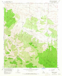
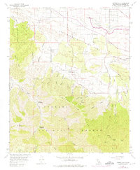
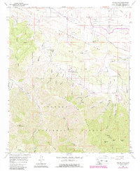
Editions of this 1959 Juniper Hills Map
4 editions found
Other maps of this area

1900 · Tujunga
USGS Topo · 1:62,500

1901 · Southern California Sheet No. 1
USGS Topo · 1:250,000

1903 · Rock Creek
USGS Topo · 1:62,500

1904 · Southern California Sheet No. 1
USGS Topo · 1:250,000

1915 · Elizabeth Lake
USGS Topo · 1:125,000

1917 · Elizabeth Lake
USGS Topo · 1:125,000

1930 · Little Rock
USGS Topo · 1:24,000

1930 · Llano
USGS Topo · 1:24,000

1930 · Pearland
USGS Topo · 1:24,000

1934 · Pearland
USGS Topo · 1:24,000