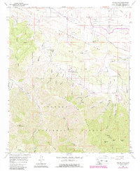
1959 Map of Juniper Hills
USGS Topo · Published 1988About this map
Juniper Hills and Cima Mesa sit at the transition between the high Mojave Desert and the steep northern slopes of the San Gabriel Mountains during the late 1950s. The landscape is defined by the massive tectonic scar of the San Andreas Rift Zone, which runs northwest-to-southeast across the sheet, separating the lower alluvial plains from the high-elevation peaks of the Angeles National Forest. To the south, the topography rises sharply toward Will Thrall Peak and Pallett Mtn, cut by deep drainages like John Bird Canyon and Miller Canyon. The map documents a rural foothill community relying on a network of dirt roads and truck trails, such as the Indian Blue Truck Trail, to navigate the complex terrain. Water management is evident through numerous labeled wells and the course of Little Rock Creek as it exits the mountains. Historical travel routes are marked by the Fort Tejon Road, reflecting the era's regional connectivity.
Find a feature on this map
37 named features on this map. Tap any name to fly to it.
Don’t see what you’re looking for? This feature index may not catch every label — zoom into the map to look around manually.
Map Details
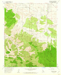
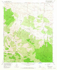
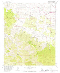
Editions of this 1959 Juniper Hills Map
4 editions found
Other maps of this area

1900 · Tujunga
USGS Topo · 1:62,500

1901 · Southern California Sheet No. 1
USGS Topo · 1:250,000

1903 · Rock Creek
USGS Topo · 1:62,500

1904 · Southern California Sheet No. 1
USGS Topo · 1:250,000

1915 · Elizabeth Lake
USGS Topo · 1:125,000

1917 · Elizabeth Lake
USGS Topo · 1:125,000

1930 · Little Rock
USGS Topo · 1:24,000

1930 · Llano
USGS Topo · 1:24,000

1930 · Pearland
USGS Topo · 1:24,000

1934 · Pearland
USGS Topo · 1:24,000