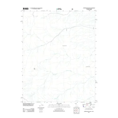
2012 Map of Juniper Mountain
USGS Topo · Published 2012About this map
Juniper Mountain and Pinyon Mountain dominate this high-elevation landscape in Esmeralda County during the early 21st century. The terrain is defined by a series of drainages that descend from the peaks, including the primary courses of Leidy Cr and the complex system of the Perry Aiken Cr watershed. These watercourses carve through the landscape, notably past the high-altitude expanse of Perry Aiken Flat.
Find a feature on this map
12 named features on this map. Tap any name to fly to it.
Don’t see what you’re looking for? This feature index may not catch every label — zoom into the map to look around manually.
Map Details
Editions of this 2012 Juniper Mountain Map
This is the sole edition of this map. No revisions or reprints were ever made.
Other maps of this area

1917 · White Mountain
USGS Topo · 1:125,000

1947 · Mariposa
USGS Topo · 1:250,000

1948 · Mariposa
USGS Topo · 1:250,000

1957 · Mariposa
USGS Topo · 1:250,000

1962 · Benton
USGS Topo · 1:62,500

1962 · Mt. Barcroft
USGS Topo · 1:62,500

1962 · White Mtn. Peak
USGS Topo · 1:62,500

1963 · Mariposa
USGS Topo · 1:250,000

1963 · Davis Mountain
USGS Topo · 1:62,500
1987 · East of Davis Mtn.
USGS Topo · 1:24,000