
1980 Map of Juniper Point
USGS Topo · Published 1980About this map
The high desert landscape along the Oregon Idaho border is defined here by an extensive network of water management features designed for ranching and livestock. Prominent landmarks like Juniper Point and Castro Ridge overlook a series of vital water sources including Gartin Reservoir, Sheep Creek Reservoir, and Coyote Creek Reservoir. These man-made basins, connected by a system of jeep trails, supported the operations of the Redmond Ranch and Dougal Ranch in this arid environment during the late 20th century.
Find a feature on this map
38 named features on this map. Tap any name to fly to it.
Don’t see what you’re looking for? This feature index may not catch every label — zoom into the map to look around manually.
Map Details
Editions of this 1980 Juniper Point Map
This is the sole edition of this map. No revisions or reprints were ever made.
Other maps of this area

1955 · Jordan Valley
USGS Topo · 1:250,000

1957 · Jordan Valley
USGS Topo · 1:250,000

1958 · Jordan Valley
USGS Topo · 1:250,000

1965 · Flint Creek
USGS Topo · 1:62,500
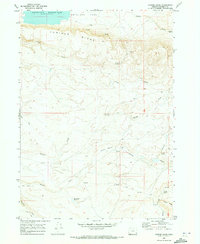
1969 · Juniper Ridge
USGS Topo · 1:24,000

1973 · Fairylawn
USGS Topo · 1:24,000

1973 · Cliffs
USGS Topo · 1:24,000

1980 · Brewster Reservoir
USGS Topo · 1:24,000

1980 · Three Forks
USGS Topo · 1:24,000
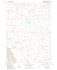
1980 · Whitehorse Butte
USGS Topo · 1:24,000