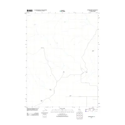
2012 Map of Juniper Ridge
USGS Topo · Published 2012About this map
Harry Marr Ranch and Brin Marr Ranch anchor the human presence in this high-desert landscape of Lassen County, where water sources dictate the placement of early homesteads. Numerous vital springs, including Poulsen Spring, Etchecopar Spring, and Dodge Spring, are mapped across the terrain, illustrating the critical infrastructure needed for livestock and survival in this arid region. The topography is defined by prominent features such as Juniper Ridge and the distinct volcanic profile of Dorsey Butte, while broader expanses like Maiden Flat and Coyote Flat suggest the open range character of the territory. The network of local transit is evidenced by utilitarian corridors such as Juniper Ridge Rd and the historically evocative Mail Rte, which cuts through the southern portion of the quadrangle. These labels reflect a history of remote ranching and rural mail delivery before modern development patterns fully reached these corners of Northern California.
Find a feature on this map
16 named features on this map. Tap any name to fly to it.
Don’t see what you’re looking for? This feature index may not catch every label — zoom into the map to look around manually.
Map Details
Editions of this 2012 Juniper Ridge Map
This is the sole edition of this map. No revisions or reprints were ever made.
Other maps of this area

1886 · Alturas
USGS Topo · 1:250,000

1886 · Honey Lake
USGS Topo · 1:250,000

1891 · Honey Lake
USGS Topo · 1:250,000

1892 · Alturas
USGS Topo · 1:250,000

1893 · Honey Lake
USGS Topo · 1:250,000

1954 · Observation Peak
USGS Topo · 1:62,500

1954 · Ravendale
USGS Topo · 1:62,500

1954 · Alturas
USGS Topo · 1:250,000

1955 · Westwood
USGS Topo · 1:250,000

1958 · Alturas
USGS Topo · 1:250,000