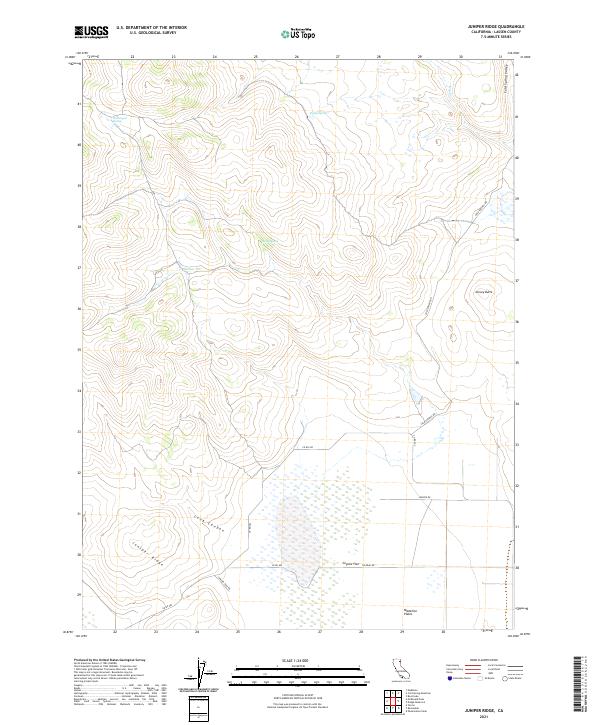
2021 Map of Juniper Ridge
USGS Topo · Published 2021About this map
Juniper Ridge rises as a prominent landmark over this high-desert terrain in Lassen County, defining the boundary between the elevated hills and the expansive Madeline Plains to the south. This 2021 survey illustrates a landscape shaped by intermittent water sources and ranching access, characterized by a series of named springs including Etchecopar Spring, Dodge Spring, and Long Spring that provide critical water in an otherwise arid environment. The transition from the northern uplands at Dorsey Butte down into the seasonal wetlands of Coyote Flat reveals a topographically diverse region managed through a network of rural routes such as Cold Springs Rd and Tuledad Rd. Geographic features like Maiden Flat and the deep incision of Long Canyon suggest a territory where drainage patterns, such as Dry Cr, dictate the movement of both livestock and vehicles across the sagebrush-covered plains.
Find a feature on this map
21 named features on this map. Tap any name to fly to it.
Don’t see what you’re looking for? This feature index may not catch every label — zoom into the map to look around manually.
Map Details
Editions of this 2021 Juniper Ridge Map
This is the sole edition of this map. No revisions or reprints were ever made.
Other maps of this area

1886 · Alturas
USGS Topo · 1:250,000

1886 · Honey Lake
USGS Topo · 1:250,000

1891 · Honey Lake
USGS Topo · 1:250,000

1892 · Alturas
USGS Topo · 1:250,000

1893 · Honey Lake
USGS Topo · 1:250,000

1954 · Observation Peak
USGS Topo · 1:62,500

1954 · Ravendale
USGS Topo · 1:62,500

1954 · Alturas
USGS Topo · 1:250,000

1955 · Westwood
USGS Topo · 1:250,000

1958 · Alturas
USGS Topo · 1:250,000