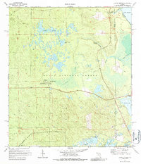
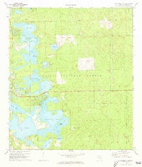
1972 Map of Juniper Springs
USGS Topo · Published 1987About this map
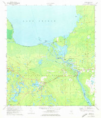
Ocala National Forest dominates this landscape, revealing a complex network of springs, prairies, and waterways in the early 1970s. The map highlights key natural landmarks such as Juniper Springs, Fern Hammock Springs, and Silver Glenn Sprs, which feed into the wider basin of Lake George. These artesian systems are central to the region's geography, surrounded by the distinctive terrain of Juniper Prairie and Farles Prairie.
Find a feature on this map
32 named features on this map. Tap any name to fly to it.
Don’t see what you’re looking for? This feature index may not catch every label — zoom into the map to look around manually.
Map Details
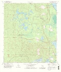
Editions of this 1972 Juniper Springs Map
3 editions found
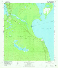
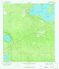
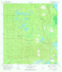
Other maps of this area

1954 · Daytona Beach
USGS Topo · 1:250,000

1958 · Daytona Beach
USGS Topo · 1:250,000

1964 · Daytona Beach
USGS Topo · 1:250,000
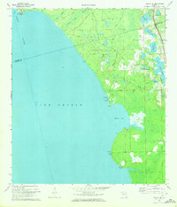
1970 · Welaka SE
USGS Topo · 1:24,000
1970 · Salt Springs
USGS Topo · 1:24,000
1970 · Halfmoon Lake
USGS Topo · 1:24,000
1970 · Lake Kerr
USGS Topo · 1:24,000
1972 · Juniper Springs
USGS Topo · 1:24,000
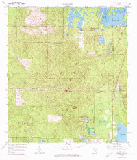
1972 · Farles Lake
USGS Topo · 1:24,000
1972 · Astor
USGS Topo · 1:24,000