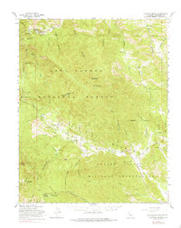
1961 Map of Junipero Serra
USGS Topo · Published 1975About this map
Junipero Serra Peak, the highest point in the Santa Lucia Range, anchors this rugged terrain where the Los Padres National Forest meets the northern reaches of the Hunter Liggett Military Reservation. The map details a complex landscape of deep canyons and seasonal waterways like Arroyo Seco and the San Antonio River. Human settlement is sparse and largely ranch-based, evidenced by the Herbert Ranch, Leigh Ranch, and Shelter Rock Ranch tucked along the drainage of Reliz Creek. A significant network of fire management and backcountry infrastructure is visible, including the Pinyon Peak Lookout Tower, the Indian Ranger Sta, and the remote settlement known as The Indians. The presence of the Telephone Road traversing the ridges suggests the vital communication lines required to manage this wildfire-prone wilderness during the mid-20th century.
Find a feature on this map
52 named features on this map. Tap any name to fly to it.
Don’t see what you’re looking for? This feature index may not catch every label — zoom into the map to look around manually.
Map Details
Editions of this 1961 Junipero Serra Map
2 editions found
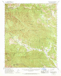
Other maps of this area

1912 · Metz
USGS Topo · 1:31,680

1915 · Soledad
USGS Topo · 1:62,500

1919 · King City
USGS Topo · 1:62,500

1919 · Junipero Serra
USGS Topo · 1:62,500

1919 · Bryson
USGS Topo · 1:62,500

1920 · Jamesburg
USGS Topo · 1:48,000

1921 · Cape San Martin
USGS Topo · 1:62,500

1921 · Jamesburg
USGS Topo · 1:62,500

1921 · Metz
USGS Topo · 1:62,500

1921 · Lucia
USGS Topo · 1:62,500