
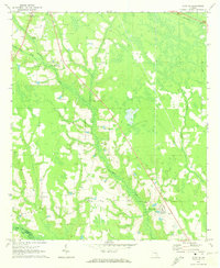
1971 Map of K'ville
USGS Topo · Published 1974About this map
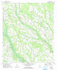
Big Satilla Creek defines the low-lying wetlands of this South Georgia landscape, where numerous tributaries like Colemans Creek and Sweetwater Creek carve through the terrain. The 1971 field check reveals a community anchored by rural institutions, notably School No 4 and a dense network of country churches including Morris Chapel, Christian Springs Ch, and Piney Grove Ch. Small family and community burial grounds are frequent, with Paulk Cem, Holland Cem, and Williamson Cem appearing as established landmarks. The settlement of K'Ville sits near the eastern boundary, where the map documents the convergence of Appling and Wayne counties. The distribution of these churches and cemeteries across the coastal plain suggests a long-standing pattern of dispersed agrarian settlement typical of the era, connected by a maturing network of light-duty and unimproved roads.
Find a feature on this map
24 named features on this map. Tap any name to fly to it.
Don’t see what you’re looking for? This feature index may not catch every label — zoom into the map to look around manually.
Map Details
Editions of this 1971 K'ville Map
2 editions found
Other maps of this area

1953 · Waycross
USGS Topo · 1:250,000

1958 · Waycross
USGS Topo · 1:250,000
1971 · Odum
USGS Topo · 1:24,000

1971 · Surrency
USGS Topo · 1:24,000
1971 · Ritch
USGS Topo · 1:24,000

1971 · Coffee
USGS Topo · 1:24,000

1971 · Patterson
USGS Topo · 1:24,000
1971 · Screven
USGS Topo · 1:24,000

1971 · Mershon
USGS Topo · 1:24,000
1971 · Alma NE
USGS Topo · 1:24,000