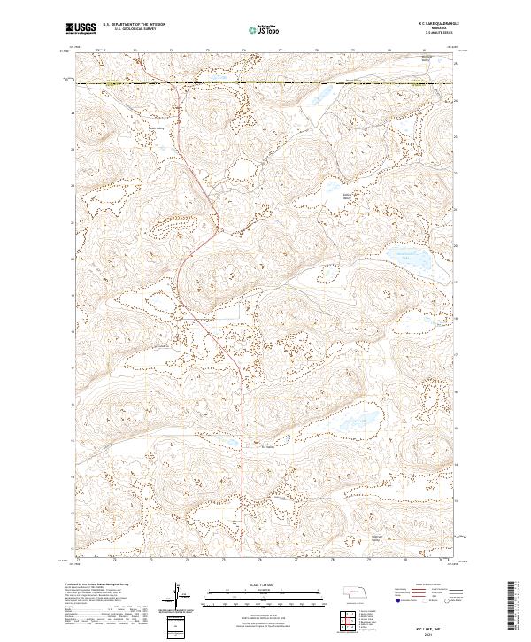
2021 Map of K C Lake
USGS Topo · Published 2021About this map
K C Valley and its namesake K C Lake characterize this corner of the Nebraska Sandhills during the early 21st century. The map reveals a remote landscape defined by isolated water bodies and expansive topographic depressions, including Sand Puddin Lake and Three Tanks Lakes. This area at the intersection of Grant and Arthur counties is etched with a network of rural routes such as Rothwell Rd, Kramer Rd, and McElhinney Rd, which provide access to family-named landmarks like Hobin Valley and Collins Valley. The distribution of these valleys, including Nostrum Valley and Winslow Valley, suggests a reliance on natural landforms for navigation and settlement in a region where surface water is a critical but localized resource. The survey provides a clear view of the sparse section lines and ranch roads that tie this high plains terrain together.
Find a feature on this map
21 named features on this map. Tap any name to fly to it.
Don’t see what you’re looking for? This feature index may not catch every label — zoom into the map to look around manually.
Map Details
Editions of this 2021 K C Lake Map
This is the sole edition of this map. No revisions or reprints were ever made.
Other maps of this area

1948 · George Lake
USGS Topo · 1:62,500

1948 · Spring Valley
USGS Topo · 1:62,500

1949 · Arthur
USGS Topo · 1:62,500

1950 · Spring Valley
USGS Topo · 1:62,500

1950 · Velma
USGS Topo · 1:62,500

1950 · George Lake
USGS Topo · 1:62,500

1950 · Arthur
USGS Topo · 1:62,500

1954 · North Platte
USGS Topo · 1:250,000

1956 · North Platte
USGS Topo · 1:250,000

1957 · North Platte
USGS Topo · 1:250,000