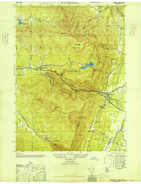
1946 Map of Kaaterskill
USGS Topo · Published 1946About this map
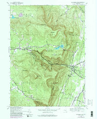
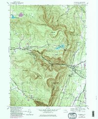
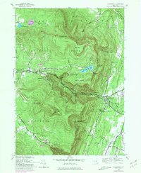
Catskill State Park dominates this mid-century landscape, revealing a high-elevation world of established resorts and sharp topography. The famous Mountain House sits perched overlooking the Kaaterskill Clove, anchoring a region long-defined by early American tourism and the dramatic vertical drop of Kaaterskill Falls. This survey, compiled from 1943 aerial photography, captures the cluster of villages including Tannersville, Haines Falls, and Twilight Park before significant modern development altered their secluded character.
Find a feature on this map
47 named features on this map. Tap any name to fly to it.
Don’t see what you’re looking for? This feature index may not catch every label — zoom into the map to look around manually.
Map Details
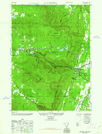
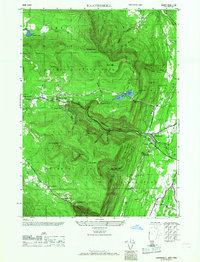
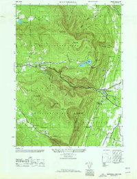
Editions of this 1946 Kaaterskill Map
7 editions found
Other maps of this area

1892 · Kaaterskill
USGS Topo · 1:62,500

1893 · Kaaterskill
USGS Topo · 1:62,500

1893 · Coxsackie
USGS Topo · 1:62,500

1893 · Durham
USGS Topo · 1:62,500

1894 · Coxsackie
USGS Topo · 1:62,500

1894 · Kaaterskill
USGS Topo · 1:62,500

1894 · Durham
USGS Topo · 1:62,500

1895 · Catskill
USGS Topo · 1:62,500

1899 · Kaaterskill
USGS Topo · 1:62,500

1903 · Kaaterskill
USGS Topo · 1:62,500