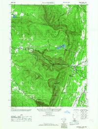
1946 Map of Kaaterskill
USGS Topo · Published 1968About this map
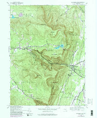
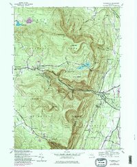
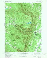
Mountain House stands as a prominent landmark overlooking the dramatic eastern escarpment of the Catskill State Park in this mid-century survey. The landscape is defined by the sharp transition between the Hudson Valley lowlands and the high peaks, connected by the winding Kaaterskill Clove. Along the northern plateau, the resort communities of Tannersville, Haines Falls, and Twilight Park are established near the shores of North Lake and South Lake. The intricate topography of the region is mapped in detail, showing numerous deep ravines such as Wildcat Ravine and Santa Cruz Ravine. Further south, the map documents the isolated settlement of Platte Clove and the prominent heights of High Peak and Roundtop Mtn, providing a clear record of the area's roads and drainage patterns before later modern development altered the rural mountain character.
Find a feature on this map
51 named features on this map. Tap any name to fly to it.
Don’t see what you’re looking for? This feature index may not catch every label — zoom into the map to look around manually.
Map Details
Editions of this 1946 Kaaterskill Map
7 editions found
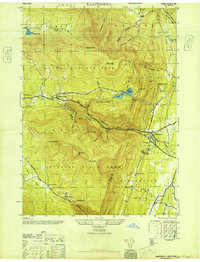
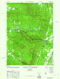
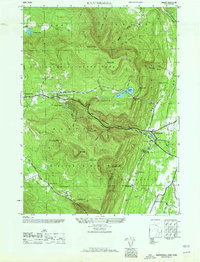
Other maps of this area

1892 · Kaaterskill
USGS Topo · 1:62,500

1893 · Kaaterskill
USGS Topo · 1:62,500

1893 · Coxsackie
USGS Topo · 1:62,500

1893 · Durham
USGS Topo · 1:62,500

1894 · Coxsackie
USGS Topo · 1:62,500

1894 · Kaaterskill
USGS Topo · 1:62,500

1894 · Durham
USGS Topo · 1:62,500

1895 · Catskill
USGS Topo · 1:62,500

1899 · Kaaterskill
USGS Topo · 1:62,500

1903 · Kaaterskill
USGS Topo · 1:62,500