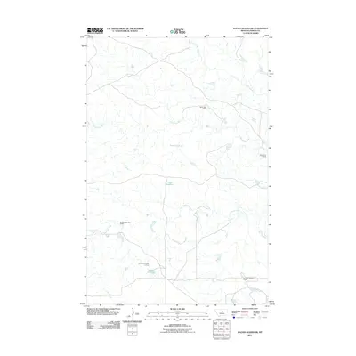
2011 Map of Kachia Reservoir
USGS Topo · Published 2011About this map
Kachia Reservoir and the surrounding drainage of the Sacagawea River define this ranching landscape in Fergus County during the early 21st century. The terrain is characterized by a sophisticated system of water management, evidenced by numerous man-made structures including the North Roy Dam and a series of numbered projects such as Ed Styer Number 3 Dam, Ed Styer Number 4 Dam, and Ed Styer Number 5 Dam. These features suggest a landscape deeply tied to livestock and agricultural sustainability in a region where seasonal water flow is critical. The map also traces the winding paths of Little Crooked Creek and Antelope Creek, which feed into larger reservoirs like Harri Reservoir. A notable historical transit point is found at Cottonwood Crossing, marking a specific location where travelers or ranchers historically traversed the river system before the modern road network was fully established.
Find a feature on this map
10 named features on this map. Tap any name to fly to it.
Don’t see what you’re looking for? This feature index may not catch every label — zoom into the map to look around manually.
Map Details
Editions of this 2011 Kachia Reservoir Map
This is the sole edition of this map. No revisions or reprints were ever made.
Other maps of this area

1943 · Landusky
USGS Topo · 1:125,000

1954 · Hessler Ridge
USGS Topo · 1:24,000

1954 · Carter Coulee
USGS Topo · 1:24,000

1954 · Lewistown
USGS Topo · 1:250,000

1959 · Lewistown
USGS Topo · 1:250,000

1971 · Kepple Bottoms
USGS Topo · 1:24,000

1984 · Zortman
USGS Topo · 1:100,000

1985 · Bear Creek Reservoir SE
USGS Topo · 1:24,000

1985 · Valentine
USGS Topo · 1:24,000

1985 · Sloan Reservoir
USGS Topo · 1:24,000