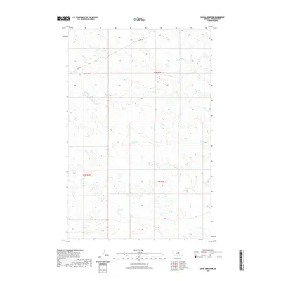
2020 Map of Kachia Reservoir
USGS Topo · Published 2020About this map
The Sacagawea River winds across this Fergus County landscape, defining a terrain shaped by the intermittent water of the high plains. In this 2020 topographic record, water management for ranching or local use is evident through the placement of Harri Reservoir and Kachia Reservoir, which capture runoff in an area where smaller tributaries like Little Crooked Creek and Antelope Creek are seasonal. The historical movement through this territory is traced by the Wilder Trail, which skirts the northern section of the map. This survey provides a modern snapshot of the Public Land Survey System divisions in Montana, showing the established grid of T19N and T20N within the R24E and R25E ranges, a structure that has organized this open country for generations.
Find a feature on this map
10 named features on this map. Tap any name to fly to it.
Don’t see what you’re looking for? This feature index may not catch every label — zoom into the map to look around manually.
Map Details
Editions of this 2020 Kachia Reservoir Map
This is the sole edition of this map. No revisions or reprints were ever made.
Other maps of this area

1943 · Landusky
USGS Topo · 1:125,000

1954 · Hessler Ridge
USGS Topo · 1:24,000

1954 · Carter Coulee
USGS Topo · 1:24,000

1954 · Lewistown
USGS Topo · 1:250,000

1959 · Lewistown
USGS Topo · 1:250,000

1971 · Kepple Bottoms
USGS Topo · 1:24,000

1984 · Zortman
USGS Topo · 1:100,000

1985 · Bear Creek Reservoir SE
USGS Topo · 1:24,000

1985 · Valentine
USGS Topo · 1:24,000

1985 · Sloan Reservoir
USGS Topo · 1:24,000