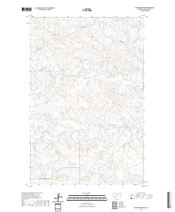
2024 Map of Kachia Reservoir
USGS Topo · Published 2024About this map
Kachia Reservoir and Harri Reservoir serve as the primary water management features in this section of Fergus County, marking a landscape defined by seasonal drainages and cattle country infrastructure. The terrain is deeply carved by the Sacagawea River in the northwest, which is joined by a network of ephemeral watercourses including Antelope Creek and Little Crooked Creek. This contemporary survey illustrates the persistent ranching character of central Montana, where high plateaus are bisected by winding coulees. Remote access is facilitated by the Wilder Trl, which meanders across the northern townships, connecting the high ground between the river breaks and the southern reservoirs.
Find a feature on this map
10 named features on this map. Tap any name to fly to it.
Don’t see what you’re looking for? This feature index may not catch every label — zoom into the map to look around manually.
Map Details
Editions of this 2024 Kachia Reservoir Map
This is the sole edition of this map. No revisions or reprints were ever made.
Other maps of this area

1943 · Landusky
USGS Topo · 1:125,000

1954 · Hessler Ridge
USGS Topo · 1:24,000

1954 · Carter Coulee
USGS Topo · 1:24,000

1954 · Lewistown
USGS Topo · 1:250,000

1959 · Lewistown
USGS Topo · 1:250,000

1971 · Kepple Bottoms
USGS Topo · 1:24,000

1984 · Zortman
USGS Topo · 1:100,000

1985 · Bear Creek Reservoir SE
USGS Topo · 1:24,000

1985 · Valentine
USGS Topo · 1:24,000

1985 · Sloan Reservoir
USGS Topo · 1:24,000