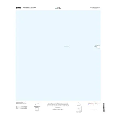
2013 Map of Kaena OE W
USGS Topo · Published 2013About this map
Pacific Ocean waters dominate this quadrangle, centering on the extreme western tip of Oahu. The landmass shown is limited to the rocky protrusion of Ka'ena Point, a site of significant navigational importance. The presence of the Ka'ena Point Lighthouse at this coastal extremity indicates the area's role in maritime safety for vessels rounding the island. This topographic study, produced by the U.S. Geological Survey using 2010 digital imagery, provides a precise record of the shoreline and immediate terrain at the point of land where the island's northern and western coasts meet.
Find a feature on this map
3 named features on this map. Tap any name to fly to it.
Don’t see what you’re looking for? This feature index may not catch every label — zoom into the map to look around manually.
Map Details
Editions of this 2013 Kaena OE W Map
This is the sole edition of this map. No revisions or reprints were ever made.
Other maps of this area

1954 · Oahu
USGS Topo · 1:250,000

1954 · Waianae
USGS Topo · 1:24,000

1954 · Kaena
USGS Topo · 1:24,000

1961 · Oahu
USGS Topo · 1:250,000
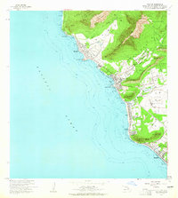
1963 · Waianae
USGS Topo · 1:24,000
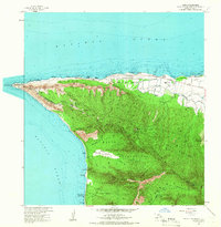
1964 · Kaena
USGS Topo · 1:24,000

1965 · Oahu
USGS Topo · 1:250,000
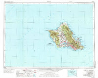
1970 · Oahu
USGS Topo · 1:250,000
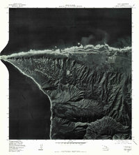
1977 · Kaena
USGS Topo · 1:24,000
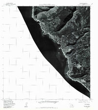
1977 · Waianae
USGS Topo · 1:24,000