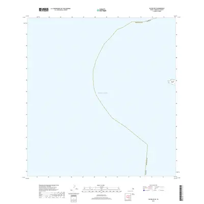
2017 Map of Kaena OE W
USGS Topo · Published 2017About this map
The waters of the Pacific Ocean dominate this 2017 nautical-focused chart, capturing the maritime boundaries off the westernmost tip of Oahu. The map depicts the precise shoreline of Ka'ena Point, a critical geographic landmark where the island's coastal roads terminate. As a modern U.S. Geological Survey product, it focuses on the intersection of the marine environment and the terrestrial edge of Honolulu County. The lack of inland development in this particular quadrangle reflects the protected and natural state of this coastal region, making it a clear reference for understanding the physical limits of the island and the expanse of the surrounding sea.
Find a feature on this map
3 named features on this map. Tap any name to fly to it.
Don’t see what you’re looking for? This feature index may not catch every label — zoom into the map to look around manually.
Map Details
Editions of this 2017 Kaena OE W Map
This is the sole edition of this map. No revisions or reprints were ever made.
Other maps of this area

1954 · Oahu
USGS Topo · 1:250,000

1954 · Waianae
USGS Topo · 1:24,000

1954 · Kaena
USGS Topo · 1:24,000

1961 · Oahu
USGS Topo · 1:250,000
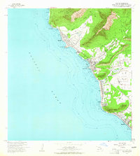
1963 · Waianae
USGS Topo · 1:24,000
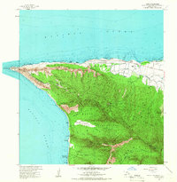
1964 · Kaena
USGS Topo · 1:24,000

1965 · Oahu
USGS Topo · 1:250,000
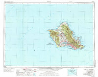
1970 · Oahu
USGS Topo · 1:250,000
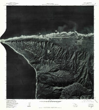
1977 · Kaena
USGS Topo · 1:24,000
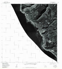
1977 · Waianae
USGS Topo · 1:24,000