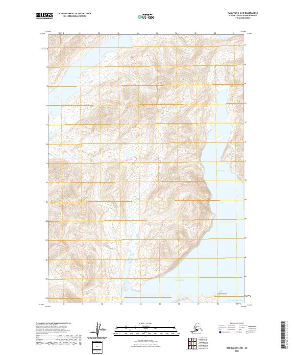
2021 Map of Kaguyak D-6 NE
USGS Topo · Published 2021About this map
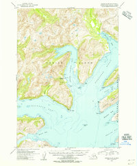
Japanese Bay and Kaguyak Bay carve deep into the shoreline of Kodiak Island on this recent 2021 survey, defining a landscape shaped entirely by the sea and steep elevation. The coast is anchored by Cape Kaguyak, which marks the entrance to the bay and looks out over the open Gulf of Alaska. Unlike earlier eras of coastal mapping that might show established villages or seasonal camps, this modern topographic sheet focuses on the physical geography and hydrography of the region. The map reveals the intricate drainage patterns and sharp ridgelines of the interior, illustrating how the island's interior topography funnels directly into these protected coastal inlets, which have historically served as vital landmarks for navigation along the archipelago's southeastern edge.
Find a feature on this map
8 named features on this map. Tap any name to fly to it.
Don’t see what you’re looking for? This feature index may not catch every label — zoom into the map to look around manually.
Map Details
Editions of this 2021 Kaguyak D-6 NE Map
This is the sole edition of this map. No revisions or reprints were ever made.
Other maps of this area

1951 · Kaguyak
USGS Topo · 1:250,000

1952 · Kodiak
USGS Topo · 1:250,000

1952 · Kaguyak
USGS Topo · 1:250,000

1952 · Kaguyak D-5
USGS Topo · 1:63,360

1952 · Kaguyak D-6
USGS Topo · 1:63,360

1952 · Kodiak A-6
USGS Topo · 1:63,360
1952 · Kodiak A-5
USGS Topo · 1:63,360
1954 · Kaguyak D-5
USGS Topo · 1:63,360
1954 · Kodiak A-6
USGS Topo · 1:63,360
1954 · Kodiak A-5
USGS Topo · 1:63,360