2023 Map of Kahlotus
USGS Topo · Published 2023About this map
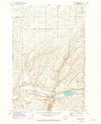
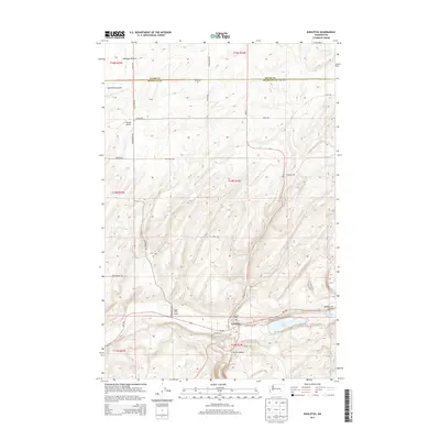
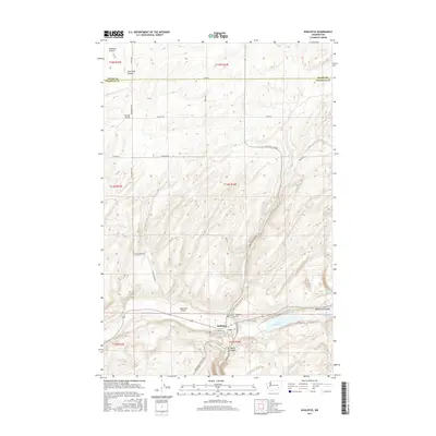
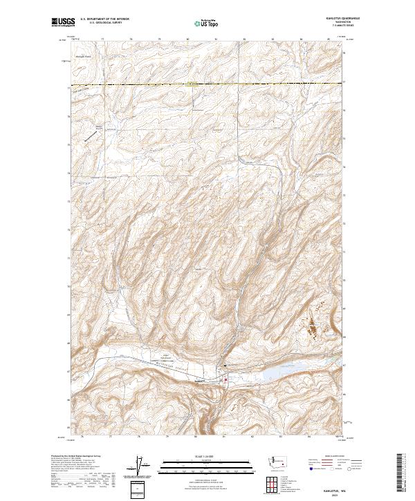
Kahlotus sits at the intersection of the Washtucna Coulee and Devils Canyon, serving as a focal point for the agricultural and transport networks of southeastern Washington. The landscape is defined by these massive glacial meltwater channels, which carve through the high basalt plateau of Michigan Prairie. Local landmarks like Lake Kahlotus and the nearby Lakeview Cem overlook the town, while the repurposed rail corridor of the Columbia Plateau State Park Trl follows the base of the coulee. This modern survey shows a landscape where aviation and recreation have integrated into the older farming geography, with Angel Park Airport and Watson Airport situated among the family-named roads and drainage features like Sand Hills Coulee.
Find a feature on this map
30 named features on this map. Tap any name to fly to it.
Don’t see what you’re looking for? This feature index may not catch every label — zoom into the map to look around manually.
Map Details
Editions of this 2023 Kahlotus Map
This is the sole edition of this map. No revisions or reprints were ever made.
Historical Maps of Kahlotus Through Time
6 maps found