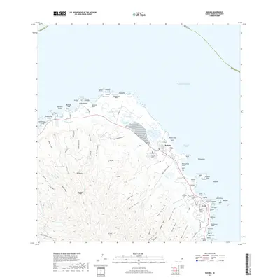
2017 Map of Kahuku
USGS Topo · Published 2017About this map
Kahuku and Laie anchor this coastal landscape on the northern windward shore of O'ahu, where the terrestrial drainages of the Ko'olau Range meet the Pacific Ocean. The settlement pattern reflects a mix of institutional, residential, and agricultural history, most notably at the Brigham Young Univ - Hawaii campus. Cultural history is etched into the landscape at the Japanese Graveyard and Kahuku Catholic Cem, providing essential markers for genealogical research in this region.
Find a feature on this map
119 named features on this map. Tap any name to fly to it.
Don’t see what you’re looking for? This feature index may not catch every label — zoom into the map to look around manually.
Map Details
Editions of this 2017 Kahuku Map
This is the sole edition of this map. No revisions or reprints were ever made.
Other maps of this area

1952 · Waimea
USGS Topo · 1:24,000

1953 · Haleiwa
USGS Topo · 1:24,000

1953 · Hauula
USGS Topo · 1:24,000

1954 · Oahu
USGS Topo · 1:250,000

1954 · Kahuku
USGS Topo · 1:24,000

1954 · Kahana
USGS Topo · 1:24,000

1960 · Haleiwa
USGS Topo · 1:24,000

1961 · Oahu
USGS Topo · 1:250,000

1965 · Oahu
USGS Topo · 1:250,000
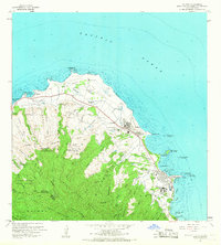
1965 · Kahuku
USGS Topo · 1:24,000