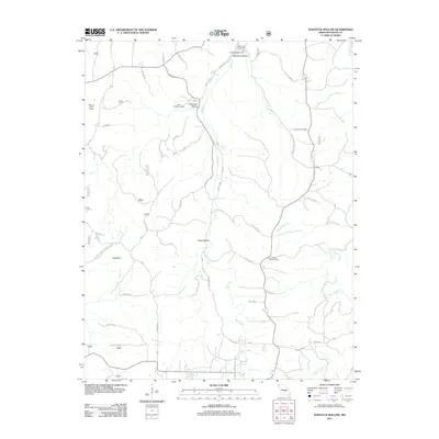
2011 Map of Kaintuck Hollow
USGS Topo · Published 2011About this map
Mill Creek meanders through the karst landscape of Phelps County, Missouri, carving out notable topographic features such as Hardester Hollow and Kaintuck Hollow. This rural landscape is defined by its springs and sinks, with the dramatic King Sink located in the western portion of the quadrangle. The area remains a hub for local history and outdoor activity, anchored by the Mill Creek Recreation Area and the Mill Creek Picnic Area near the creek's northern reaches.
Find a feature on this map
45 named features on this map. Tap any name to fly to it.
Don’t see what you’re looking for? This feature index may not catch every label — zoom into the map to look around manually.
Map Details
Editions of this 2011 Kaintuck Hollow Map
This is the sole edition of this map. No revisions or reprints were ever made.
Other maps of this area

1912 · Rolla
USGS Topo · 1:62,500

1936 · Waynesville
USGS Topo · 1:48,000

1937 · Edgar Springs
USGS Topo · 1:48,000

1941 · Big Piney
USGS Topo · 1:62,500

1942 · Waynesville
USGS Topo · 1:62,500

1943 · Big Piney
USGS Topo · 1:62,500

1944 · Waynesville
USGS Topo · 1:62,500

1945 · Edgar Springs
USGS Topo · 1:62,500

1949 · Rolla
USGS Topo · 1:250,000

1950 · Newburg
USGS Topo · 1:24,000