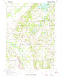
1967 Map of Kalamazoo NE
USGS Topo · Published 1974About this map
The Kalamazoo River and the Penn Central railroad corridor define the local geography of this Michigan landscape during the mid-1960s. The terrain transitions from the low-lying river valley in Cooper up to the lakelands of Prairieville, where water bodies like Pine Lake and Warner Lake are focal points for recreation and settlement. The map reveals a mix of agricultural plots and early suburban development, evidenced by the Lake Doster Golf Club and Trailer Park near Neeley.
Find a feature on this map
56 named features on this map. Tap any name to fly to it.
Don’t see what you’re looking for? This feature index may not catch every label — zoom into the map to look around manually.
Map Details
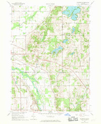
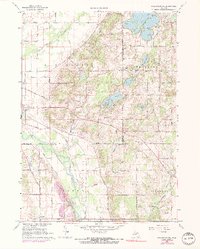
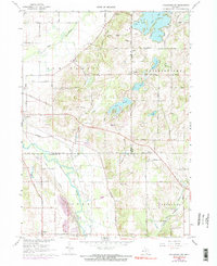
Editions of this 1967 Kalamazoo NE Map
4 editions found
Other maps of this area

1916 · Kalamazoo
USGS Topo · 1:62,500

1918 · Kalamazoo
USGS Topo · 1:62,500

1918 · Galesburg
USGS Topo · 1:62,500

1943 · Kalamazoo
USGS Topo · 1:62,500

1944 · Galesburg
USGS Topo · 1:62,500

1947 · Delton
USGS Topo · 1:24,000

1947 · Galesburg
USGS Topo · 1:24,000

1947 · Galesburg
USGS Topo · 1:62,500

1950 · Galesburg
USGS Topo · 1:62,500

1951 · Hastings
USGS Topo · 1:62,500