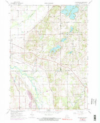
1967 Map of Kalamazoo NE
USGS Topo · Published 1974About this map
The Kalamazoo River and the Penn Central railroad corridor define the transportation spine of this region during the late 1960s and early 1970s. Spanning the borders of Allegan, Barry, and Kalamazoo counties, the landscape transitions from the river valley in Cooper to the lake-studded terrain of Prairieville and Gun Plain. Small settlements like Doster, Cressey, and Neeley anchor the rural crossroads, while the development of the Lake Doster Golf Club and surrounding Lake Doster indicates a mid-century shift toward recreational land use. Local history is preserved in sites like Hillside Cem, Ives Cem, and the East Cooper Cem. The map reveals a mix of established agriculture and emerging suburban infrastructure, including several Gravel Pits and the Fair Haven Rest Home.
Find a feature on this map
49 named features on this map. Tap any name to fly to it.
Don’t see what you’re looking for? This feature index may not catch every label — zoom into the map to look around manually.
Map Details
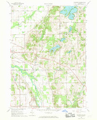
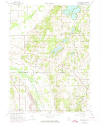
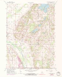
Editions of this 1967 Kalamazoo NE Map
4 editions found
Other maps of this area

1916 · Kalamazoo
USGS Topo · 1:62,500

1918 · Kalamazoo
USGS Topo · 1:62,500

1918 · Galesburg
USGS Topo · 1:62,500

1943 · Kalamazoo
USGS Topo · 1:62,500

1944 · Galesburg
USGS Topo · 1:62,500

1947 · Delton
USGS Topo · 1:24,000

1947 · Galesburg
USGS Topo · 1:24,000

1947 · Galesburg
USGS Topo · 1:62,500

1950 · Galesburg
USGS Topo · 1:62,500

1951 · Hastings
USGS Topo · 1:62,500