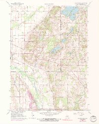
1967 Map of Kalamazoo NE
USGS Topo · Published 1974About this map
Gun Plain and Prairieville terrain defines the northern landscape where the Gun River flows toward its junction with the Kalamazoo River. This late-1960s environment, updated through the mid-1970s, shows a mix of rural industry and burgeoning recreational development. The presence of numerous Gravel Pits alongside the established Penn Central rail line indicates a landscape tied to resource extraction and transportation.
Find a feature on this map
50 named features on this map. Tap any name to fly to it.
Don’t see what you’re looking for? This feature index may not catch every label — zoom into the map to look around manually.
Map Details
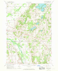
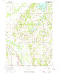
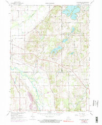
Editions of this 1967 Kalamazoo NE Map
4 editions found
Other maps of this area

1916 · Kalamazoo
USGS Topo · 1:62,500

1918 · Kalamazoo
USGS Topo · 1:62,500

1918 · Galesburg
USGS Topo · 1:62,500

1943 · Kalamazoo
USGS Topo · 1:62,500

1944 · Galesburg
USGS Topo · 1:62,500

1947 · Delton
USGS Topo · 1:24,000

1947 · Galesburg
USGS Topo · 1:24,000

1947 · Galesburg
USGS Topo · 1:62,500

1950 · Galesburg
USGS Topo · 1:62,500

1951 · Hastings
USGS Topo · 1:62,500