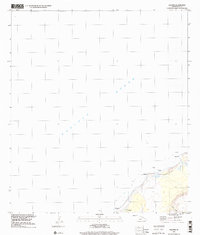
1989 Map of Kalanei
USGS Topo · Published 2001About this map
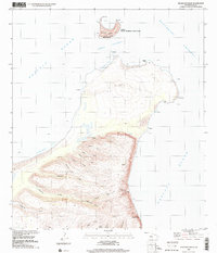
Pu'uwai and the surrounding coastline on the island of Niihau are captured here as they appeared in the late 1980s. The map illustrates a landscape where small settlements like Kalānei and Kālehu sit near the edge of the Pacific Ocean, separated by the distinctive coastal terrain of Paliuli. The presence of inland features such as Lo'e Lake and the drainage of Hā'ao Valley indicates the natural water systems that defined life in this secluded region. Toward the northern reach of the terrestrial area shown, the settlement of Kaununui is noted near a series of coastal rocks. Because this survey was updated through imagery in 1989, it reflects the established settlement patterns and topography of the island's western side during the late twentieth century, showing a environment primarily shaped by its volcanic geography and proximity to the sea.
Find a feature on this map
10 named features on this map. Tap any name to fly to it.
Don’t see what you’re looking for? This feature index may not catch every label — zoom into the map to look around manually.
Map Details
Editions of this 1989 Kalanei Map
This is the sole edition of this map. No revisions or reprints were ever made.
Other maps of this area

1954 · Kauai
USGS Topo · 1:250,000

1967 · Kauai
USGS Topo · 1:250,000

1970 · Kauai
USGS Topo · 1:250,000
1984 · Niihau South
USGS Topo · 1:25,000
1984 · Niihau North
USGS Topo · 1:25,000
1989 · Halalii Lake
USGS Topo · 1:24,000
1989 · Keanauhi Valley
USGS Topo · 1:24,000
1989 · Honuaula Valley
USGS Topo · 1:24,000
2013 · Niihau North OE NW
USGS Topo · 1:24,000
2013 · Niihau North OE W
USGS Topo · 1:24,000