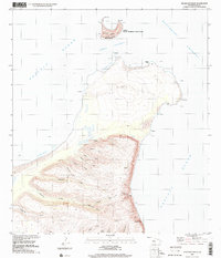
1989 Map of Keanauhi Valley
USGS Topo · Published 2001About this map
The crescent-shaped island of Lehua sits north of the main coast, designated as the Lehua State Seabird Sanctuary and housing a U S Coast Guard Reservation. This coastal region of Kauai, as documented in the late 1980s, is defined by its dramatic erosion patterns, where numerous deep gulches like Mokoula Valley and Kanalo Valley drain toward the Pacific Ocean. The landscape transitions from the jagged shoreline of Keawanui Bay and Ka'aukuru Bay up into the interior heights, where a solitary Communication Tower stands as a rare sign of modern infrastructure.
Find a feature on this map
37 named features on this map. Tap any name to fly to it.
Don’t see what you’re looking for? This feature index may not catch every label — zoom into the map to look around manually.
Map Details
Editions of this 1989 Keanauhi Valley Map
This is the sole edition of this map. No revisions or reprints were ever made.
Other maps of this area

1954 · Kauai
USGS Topo · 1:250,000

1967 · Kauai
USGS Topo · 1:250,000

1970 · Kauai
USGS Topo · 1:250,000
1984 · Niihau South
USGS Topo · 1:25,000
1984 · Niihau North
USGS Topo · 1:25,000
1989 · Halalii Lake
USGS Topo · 1:24,000
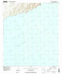
1989 · Honuaula Valley
USGS Topo · 1:24,000
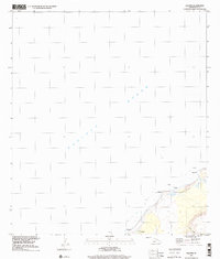
1989 · Kalanei
USGS Topo · 1:24,000
2013 · Niihau North OE N
USGS Topo · 1:24,000
2013 · Niihau North OE NW
USGS Topo · 1:24,000