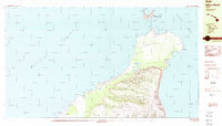
1984 Map of Niihau North
USGS Topo · Published 1984About this map
The isolated settlement of Puuwai serves as the primary human footprint on this mid-1980s study of the northern reaches of Niihau. Positioned within the Waimea District, the landscape is defined by its deep drainage systems, including Makaokahai Valley and Kahunali Valley, which carve through the volcanic upland toward the Pacific Ocean. Along the northern coast, Keawanui Bay and the crescent-shaped island of Lehua, which houses the Lehua State Seabird Sanctuary, highlight the importance of the maritime environment.
Find a feature on this map
41 named features on this map. Tap any name to fly to it.
Don’t see what you’re looking for? This feature index may not catch every label — zoom into the map to look around manually.
Map Details
Editions of this 1984 Niihau North Map
2 editions found
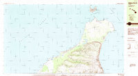
Other maps of this area

1954 · Kauai
USGS Topo · 1:250,000

1967 · Kauai
USGS Topo · 1:250,000

1970 · Kauai
USGS Topo · 1:250,000
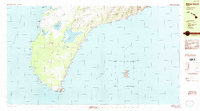
1984 · Niihau South
USGS Topo · 1:25,000
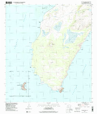
1989 · Halalii Lake
USGS Topo · 1:24,000
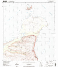
1989 · Keanauhi Valley
USGS Topo · 1:24,000
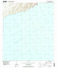
1989 · Honuaula Valley
USGS Topo · 1:24,000
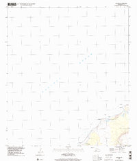
1989 · Kalanei
USGS Topo · 1:24,000
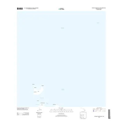
2013 · Niihau North OE N
USGS Topo · 1:24,000
2013 · Niihau North OE NW
USGS Topo · 1:24,000