
1924 Map of Kalapana
USGS Topo · Published 1924About this map
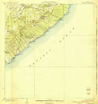
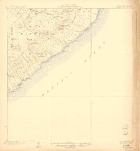
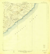
Puna District coastal landscapes are defined by an intricate network of volcanic features and colonial-era land divisions in this 1922 survey of Hawaii’s southeastern shore. The terrain is marked by numerous vents and depressions, including Puulena Crater and the distinctive Lava Trees formation near the northern border. Cultural history is anchored by the coastal settlements of Kalapana and Kaimu, where traditional sites like Mahinaakaka Heiau stand near modern developments such as Kalapana Park. The map documents a period of organized agricultural expansion through numerous namesake land tracts, including the Kaniahiku Homesteads and Opihikao Homesteads. Industrial connectivity is represented by the Consolidated Hawaii Railway reaching toward Pahoa, while the interior remains dominated by the dense Puna Forest Reserve.
Find a feature on this map
82 named features on this map. Tap any name to fly to it.
Don’t see what you’re looking for? This feature index may not catch every label — zoom into the map to look around manually.
Map Details
Editions of this 1924 Kalapana Map
4 editions found
Other maps of this area

1917 · Hilo
USGS Topo · 1:62,500

1922 · Puna
USGS Topo · 1:62,500

1924 · Makuu
USGS Topo · 1:62,500

1924 · Puna
USGS Topo · 1:62,500

1932 · Hilo
USGS Topo · 1:62,500

1954 · Hawaii South
USGS Topo · 1:250,000

1954 · Hawaii North
USGS Topo · 1:250,000

1959 · Hawaii South
USGS Topo · 1:250,000

1959 · Hawaii North
USGS Topo · 1:250,000

1961 · Hawaii North
USGS Topo · 1:250,000