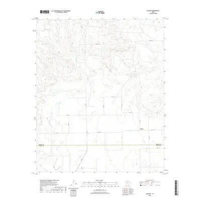
2019 Map of Kalgary
USGS Topo · Published 2019About this map
Kalgary sits at the center of this 2019 survey, marking the southern edge of Crosby County along the border with Garza County. The landscape is defined by the dendritic drainage patterns of the Texas High Plains, where several intermittent stream systems have carved distinct draws into the caprock. Watercourses such as McDonald Cr, Turkey Cr, and Yankee Cr dominate the northern and western sections of the quadrangle, while Home Cr and Bull Cr flow through the eastern reaches. The infrastructure is characterized by a sparse grid of rural roads, including FM 651 and Ranch Rd 261, which connect the small settlement of Kalgary to the surrounding ranching and agricultural lands. The transition between Crosby County and Garza County is clearly delineated near the southern portion of the map, illustrating how local governance follows the natural and surveyed lines of the South Plains.
Find a feature on this map
22 named features on this map. Tap any name to fly to it.
Don’t see what you’re looking for? This feature index may not catch every label — zoom into the map to look around manually.
Map Details
Editions of this 2019 Kalgary Map
This is the sole edition of this map. No revisions or reprints were ever made.
Other maps of this area

1954 · Lubbock
USGS Topo · 1:250,000

1961 · Bunker Hill
USGS Topo · 1:24,000

1962 · Twomile Creek
USGS Topo · 1:24,000

1962 · Smith Tank
USGS Topo · 1:24,000

1966 · Kalgary
USGS Topo · 1:24,000

1966 · Collett Springs
USGS Topo · 1:24,000

1966 · Canyon Valley
USGS Topo · 1:24,000

1967 · Ralls SE
USGS Topo · 1:24,000

1969 · Verbena
USGS Topo · 1:24,000

1969 · Cap Rock SE
USGS Topo · 1:24,000