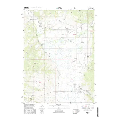
2017 Map of Kamas
USGS Topo · Published 2017About this map
The Weber River winds through the heart of Kamas Valley, anchoring a landscape of high-altitude ranching and agricultural settlements. This 2017 survey details a corridor of historically significant communities including Peoa, Oakley, Marion, and Kamas. The settlement pattern follows the valley floor, bordered by the steep transitions into the Wasatch National Forest to the east and The West Hills to the west. Local genealogy is well-represented through several burial sites such as Peoa Cem, Oakley Cem, and Marion Cem. The terrain is deeply incised by numerous drainages like Beaver Cr and Thorn Cr, while named geographical features like Elder Hollow and Mahogany Hills define the surrounding uplands. The road network, including Millrace Rd and Upper Loop Rd, illustrates the continued importance of these connections between the valley’s established townships.
Find a feature on this map
101 named features on this map. Tap any name to fly to it.
Don’t see what you’re looking for? This feature index may not catch every label — zoom into the map to look around manually.
Map Details
Editions of this 2017 Kamas Map
This is the sole edition of this map. No revisions or reprints were ever made.
Other maps of this area

1885 · Salt Lake
USGS Topo · 1:250,000

1900 · Coalville
USGS Topo · 1:125,000

1903 · Coalville
USGS Topo · 1:125,000

1954 · Salt Lake City
USGS Topo · 1:250,000

1955 · Heber
USGS Topo · 1:24,000

1955 · Park City East
USGS Topo · 1:24,000

1958 · Salt Lake City
USGS Topo · 1:250,000

1960 · Salt Lake City
USGS Topo · 1:250,000

1967 · Francis
USGS Topo · 1:24,000

1967 · Kamas
USGS Topo · 1:24,000