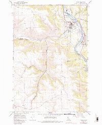
1979 Map of Kamiah
USGS Topo · Published 1986About this map
The Clearwater River serves as the primary corridor for development and transport in this region, with Kamiah and East Kamiah established along its banks. This survey shows the area as it appeared in the late 1960s and 1970s, entirely contained within the boundaries of the Nez Perce Indian Reservation. The landscape transitions from the river valley up the steep Woodland Grade and out onto the broad agricultural expanse of the Camas Prairie.
Find a feature on this map
29 named features on this map. Tap any name to fly to it.
Don’t see what you’re looking for? This feature index may not catch every label — zoom into the map to look around manually.
Map Details
Editions of this 1979 Kamiah Map
This is the sole edition of this map. No revisions or reprints were ever made.
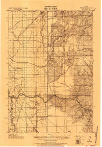
Other maps of this area

1924 · Kamiah
USGS Topo · 1:125,000
1924 · Weippe
USGS Topo · 1:125,000

1955 · Pullman
USGS Topo · 1:250,000

1956 · Hamilton
USGS Topo · 1:250,000

1958 · Pullman
USGS Topo · 1:250,000

1959 · Hamilton
USGS Topo · 1:250,000

1960 · Hamilton
USGS Topo · 1:250,000

1964 · Hamilton
USGS Topo · 1:250,000
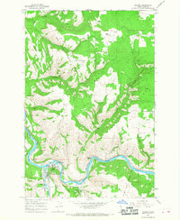
1966 · Kooskia
USGS Topo · 1:24,000
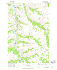
1966 · Stites
USGS Topo · 1:24,000