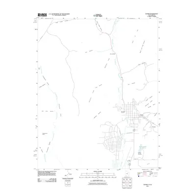
2011 Map of Kanab
USGS Topo · Published 2011About this map
Kanab serves as the focal point of this Southern Utah survey, where the town's grid expands toward the towering Vermilion Cliffs and the winding course of Kanab Creek. The landscape is defined by deep incisions in the earth, including Cottonwood Canyon, Hog Canyon, and Bunting Canyon, which break through the red rock plateaus. To the south of the main settlement, water management is evident at Spencer Number Two Reservoir and the accompanying Spencer Number Two Dam, while the Kanab Post Office and Kanab City Cemetery provide local historical markers for genealogists and researchers.
Find a feature on this map
37 named features on this map. Tap any name to fly to it.
Don’t see what you’re looking for? This feature index may not catch every label — zoom into the map to look around manually.
Map Details
Editions of this 2011 Kanab Map
This is the sole edition of this map. No revisions or reprints were ever made.
Other maps of this area

1886 · Kanab
USGS Topo · 1:250,000

1886 · Kaibab
USGS Topo · 1:250,000

1953 · Cedar City
USGS Topo · 1:250,000

1953 · Grand Canyon
USGS Topo · 1:250,000

1954 · Kanab SW
USGS Topo · 1:24,000

1954 · Fredonia NW
USGS Topo · 1:24,000

1954 · Kanab SE
USGS Topo · 1:24,000

1954 · Shinarump NW
USGS Topo · 1:24,000

1954 · Johnson SW
USGS Topo · 1:24,000

1954 · Fredonia NE
USGS Topo · 1:24,000