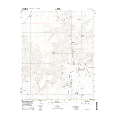
2014 Map of Kanab
USGS Topo · Published 2014About this map
Kanab serves as the central hub on this 2014 survey, where the red rock desert meets the organized grid of a modern township. The settlement is defined by its dramatic proximity to the Vermilion Cliffs, with residential streets like W Vermillion Dr and W Kanab Creek Dr pushing toward the canyon walls. To the east, Toms Canyon and Indian Dance Hall provide specific points of interest on the fringe of the residential area, while the Kanab City Cem offers a point of reference for family historians.
Find a feature on this map
66 named features on this map. Tap any name to fly to it.
Don’t see what you’re looking for? This feature index may not catch every label — zoom into the map to look around manually.
Map Details
Editions of this 2014 Kanab Map
This is the sole edition of this map. No revisions or reprints were ever made.
Other maps of this area

1886 · Kanab
USGS Topo · 1:250,000

1886 · Kaibab
USGS Topo · 1:250,000

1953 · Cedar City
USGS Topo · 1:250,000

1953 · Grand Canyon
USGS Topo · 1:250,000

1954 · Kanab SW
USGS Topo · 1:24,000

1954 · Fredonia NW
USGS Topo · 1:24,000

1954 · Kanab SE
USGS Topo · 1:24,000

1954 · Shinarump NW
USGS Topo · 1:24,000

1954 · Johnson SW
USGS Topo · 1:24,000

1954 · Fredonia NE
USGS Topo · 1:24,000