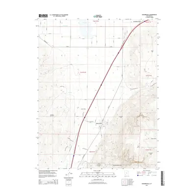
2014 Map of Kanarraville
USGS Topo · Published 2014About this map
Kanarraville and its surrounding agricultural lands occupy the transition between the Harmony Mountains to the west and the towering Hurricane Cliffs to the east. This 2014 survey documents a landscape where traditional water management, represented by the Harris-Gubler Reservoir and Quichapa Lake, meets the edge of protected wilderness at the northern boundary of Zion National Park.
Find a feature on this map
54 named features on this map. Tap any name to fly to it.
Don’t see what you’re looking for? This feature index may not catch every label — zoom into the map to look around manually.
Map Details
Editions of this 2014 Kanarraville Map
This is the sole edition of this map. No revisions or reprints were ever made.
Other maps of this area

1885 · St. George
USGS Topo · 1:250,000

1891 · St. George
USGS Topo · 1:250,000

1949 · Cedar City NW
USGS Topo · 1:24,000

1950 · Cedar City NW
USGS Topo · 1:24,000

1950 · Kanarraville
USGS Topo · 1:24,000

1950 · Cedar City
USGS Topo · 1:24,000

1950 · Iron Mountain
USGS Topo · 1:62,500

1950 · Cedar City
USGS Topo · 1:62,500

1950 · Cedar Mountain
USGS Topo · 1:24,000

1950 · Stoddard Mtn
USGS Topo · 1:24,000