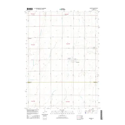
2015 Map of Kanawha
USGS Topo · Published 2015About this map
Kanawha serves as the central hub for this portion of North Central Iowa, situated at the junction of James Ave and Co HWY b63. The landscape is a textbook example of the region's agricultural and hydrological engineering, characterized by the meandering courses of the Middle Br Boone River and the E Br Boone River. To the south, the presence of Drainage Ditch Number 107 illustrates the systematic efforts to manage the prairie wetlands for farming. Genealogists will find particular value in the documentation of local burial sites, including the New Amsterdam Township Cem and the Old Amsterdam Cem, located further east. These landmarks, along with the small settlement of Denhart in the northwest, provide a clear record of the rural community structure across the Hancock and Wright County line.
Find a feature on this map
44 named features on this map. Tap any name to fly to it.
Don’t see what you’re looking for? This feature index may not catch every label — zoom into the map to look around manually.
Map Details
Editions of this 2015 Kanawha Map
This is the sole edition of this map. No revisions or reprints were ever made.
Other maps of this area

1954 · Mason City
USGS Topo · 1:250,000

1954 · Waterloo
USGS Topo · 1:250,000

1955 · Waterloo
USGS Topo · 1:250,000

1957 · Mason City
USGS Topo · 1:250,000

1958 · Mason City
USGS Topo · 1:250,000

1972 · Kanawha SE
USGS Topo · 1:24,000

1972 · Cornelia
USGS Topo · 1:24,000

1972 · Corwith
USGS Topo · 1:24,000

1972 · Kanawha
USGS Topo · 1:24,000

1972 · Olaf
USGS Topo · 1:24,000