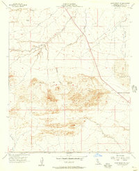
1956 Map of Kane Spring NW
USGS Topo · Published 1957About this map
The Salton Sea Test Base occupies the eastern edge of this landscape, reflecting the mid-century military presence in the Colorado Desert. The topography is defined by an intricate network of desert drainages, including Arroyo Salada and Surprise Wash, which flow toward the Salton Sink. Significant portions of the terrain sit below Sea Level, a geographic reality that shapes the hydrology of the area. Water sources are sparse but critical, evidenced by the Artesian Well and the Spring (Alkali) located in the northern reaches. The survey also traces various Jeep Trails and Levees that navigate around shifting Sand Dunes, showing how human infrastructure adapted to the volatile desert floor. Notable landmarks like VABM Soda 216 provide fixed points among the eroding banks of Tule Wash and Campbell Wash.
Find a feature on this map
14 named features on this map. Tap any name to fly to it.
Don’t see what you’re looking for? This feature index may not catch every label — zoom into the map to look around manually.
Map Details
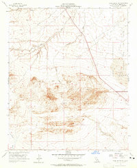
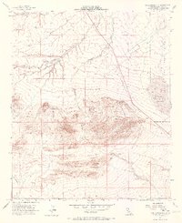
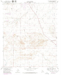
Editions of this 1956 Kane Spring NW Map
4 editions found
Other maps of this area

1904 · Indio
USGS Topo · 1:125,000

1931 · Vallecito
USGS Topo · 1:125,000

1940 · Kane Spring
USGS Topo · 1:62,500

1940 · Durmid
USGS Topo · 1:62,500

1942 · Barrel Spring
USGS Topo · 1:62,500

1942 · Agua Dulce
USGS Topo · 1:62,500

1943 · Vallecito
USGS Topo · 1:125,000

1944 · Agua Dulce
USGS Topo · 1:62,500

1944 · Durmid
USGS Topo · 1:62,500

1944 · Kane Spring
USGS Topo · 1:62,500