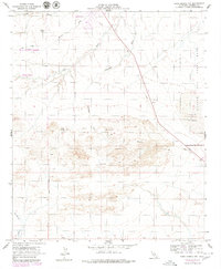
1956 Map of Kane Spring NW
USGS Topo · Published 1980About this map
Salton City stands at the northwestern edge of this arid Imperial County landscape, appearing here in a period of planned desert development. The map details a transition from the structured infrastructure of the Salton Sea Test Base and the Salton Sea Airport to the undeveloped expanses of Anza-Borrego Desert State Park. The terrain is defined by a complex drainage system, including Arroyo Salada and Tule Wash, which cut through a topography of Sand Dunes and flat desert floor.
Find a feature on this map
17 named features on this map. Tap any name to fly to it.
Don’t see what you’re looking for? This feature index may not catch every label — zoom into the map to look around manually.
Map Details
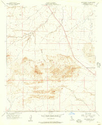
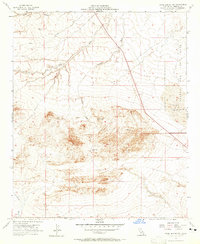
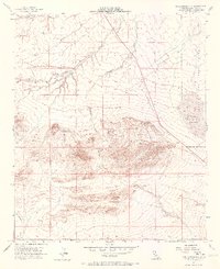
Editions of this 1956 Kane Spring NW Map
4 editions found
Other maps of this area

1904 · Indio
USGS Topo · 1:125,000

1931 · Vallecito
USGS Topo · 1:125,000

1940 · Kane Spring
USGS Topo · 1:62,500

1940 · Durmid
USGS Topo · 1:62,500

1942 · Barrel Spring
USGS Topo · 1:62,500

1942 · Agua Dulce
USGS Topo · 1:62,500

1943 · Vallecito
USGS Topo · 1:125,000

1944 · Agua Dulce
USGS Topo · 1:62,500

1944 · Durmid
USGS Topo · 1:62,500

1944 · Kane Spring
USGS Topo · 1:62,500