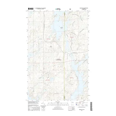
2016 Map of Kangas Bay
USGS Topo · Published 2016About this map
Superior National Forest encompasses this aquatic landscape in northern Minnesota, where the intricate shorelines of White Iron Lake and the Birch Lake Reservoir dominate the terrain. The map highlights a transition between remote timberlands and local infrastructure, such as the Ely Municipal Airport and the corridor of Minnesota Highway 1. The region’s hydrology is defined by the winding Bear Island River and several smaller bodies of water like Blueberry Lake and Pearl Lake.
Find a feature on this map
48 named features on this map. Tap any name to fly to it.
Don’t see what you’re looking for? This feature index may not catch every label — zoom into the map to look around manually.
Map Details
Editions of this 2016 Kangas Bay Map
This is the sole edition of this map. No revisions or reprints were ever made.
Other maps of this area

1933 · Ely
USGS Topo · 1:62,500

1939 · Ely
USGS Topo · 1:62,500

1951 · Babbitt
USGS Topo · 1:24,000

1952 · Babbitt NE
USGS Topo · 1:24,000

1954 · Greenwood Lake
USGS Topo · 1:62,500

1954 · Two Harbors
USGS Topo · 1:250,000

1957 · Two Harbors
USGS Topo · 1:250,000

1957 · Gabbro Lake
USGS Topo · 1:62,500

1958 · Two Harbors
USGS Topo · 1:250,000
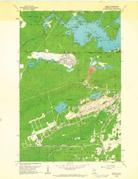
1962 · Babbitt
USGS Topo · 1:24,000
Featured Places
- Birch Lake (Unorganized Territory), MN
- Morse Township, MN
- Fall Lake Township, MN
- Stony River Township, MN
- Saint Louis County, MN