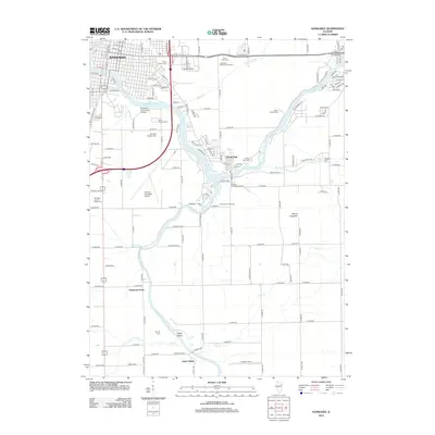
2012 Map of Kankakee
USGS Topo · Published 2012About this map
The Kankakee River and Iroquois River converge in this Illinois landscape, defining the character of the settlements and land use south of the city of Kankakee. The confluence near Aroma Park serves as a focal point for the region's geography, where the river narrows and winds past Sugar Island. This modern survey reveals a complex network of local history markers, including numerous burial grounds such as Mount Calvary Cem, B'nai Israel Cem, and the State Hospital Cem, which reflect the area's institutional and community development.
Find a feature on this map
104 named features on this map. Tap any name to fly to it.
Don’t see what you’re looking for? This feature index may not catch every label — zoom into the map to look around manually.
Map Details
Editions of this 2012 Kankakee Map
This is the sole edition of this map. No revisions or reprints were ever made.
Other maps of this area

1922 · Momence
USGS Topo · 1:62,500

1922 · Kankakee
USGS Topo · 1:62,500

1924 · Momence
USGS Topo · 1:62,500

1924 · Kankakee
USGS Topo · 1:62,500

1935 · Watseka
USGS Topo · 1:48,000

1939 · Watseka
USGS Topo · 1:62,500

1944 · Gilman
USGS Topo · 1:62,500

1946 · Gilman
USGS Topo · 1:62,500

1953 · Chicago
USGS Topo · 1:250,000

1953 · Danville
USGS Topo · 1:250,000