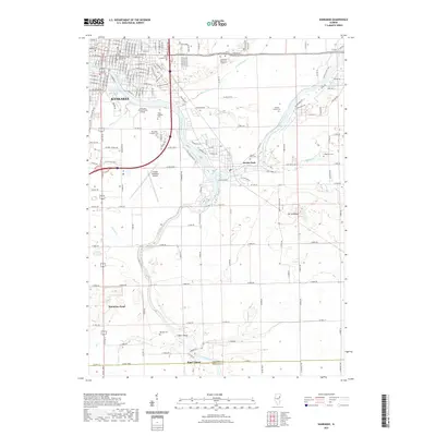
2021 Map of Kankakee
USGS Topo · Published 2021About this map
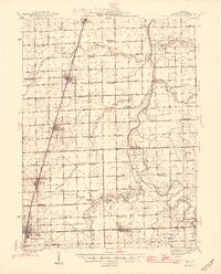
Kankakee serves as the regional hub at the confluence where the Kankakee River meets its southern tributaries. The landscape is defined by the winding river valley, which draws together various institutional and civic landmarks including the Kankakee County Courthouse and Kankakee Community College. To the south, the terrain opens into a riverine network featuring the Iroquois River and smaller waterways like Minnie Cr and Exline Slough.
Find a feature on this map
39 named features on this map. Tap any name to fly to it.
Don’t see what you’re looking for? This feature index may not catch every label — zoom into the map to look around manually.
Map Details
Editions of this 2021 Kankakee Map
This is the sole edition of this map. No revisions or reprints were ever made.
Other maps of this area
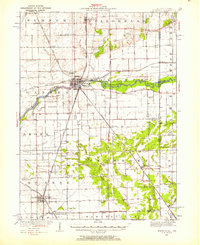
1922 · Momence
USGS Topo · 1:62,500
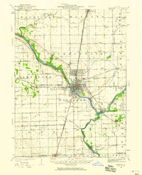
1922 · Kankakee
USGS Topo · 1:62,500
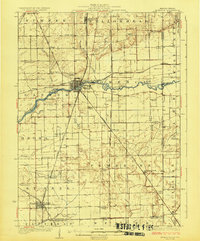
1924 · Momence
USGS Topo · 1:62,500
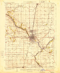
1924 · Kankakee
USGS Topo · 1:62,500
1935 · Watseka
USGS Topo · 1:48,000
1939 · Watseka
USGS Topo · 1:62,500
1944 · Gilman
USGS Topo · 1:62,500
1946 · Gilman
USGS Topo · 1:62,500

1953 · Chicago
USGS Topo · 1:250,000

1953 · Danville
USGS Topo · 1:250,000