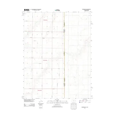
2013 Map of Kanorado NE
USGS Topo · Published 2013About this map
Bear Valley Cem stands as a quiet marker of early settlement in this corner of the High Plains, where the border of Colorado and Kansas meets. This 2013 survey of northeastern Kit Carson County shows a landscape defined by the Public Land Survey System, with a rigid grid of rural routes like Co Road GG and Co Road 59 carving through the agricultural sections. The ephemeral drainage of Little Beaver Cr provides the primary break in the level terrain, winding through the northwestern corner across several sections. The map documents the administrative intersection of Kit Carson County and Sherman County, illustrating how state and county lines dictated the development of the region's transportation network and land use patterns.
Find a feature on this map
52 named features on this map. Tap any name to fly to it.
Don’t see what you’re looking for? This feature index may not catch every label — zoom into the map to look around manually.
Map Details
Editions of this 2013 Kanorado NE Map
This is the sole edition of this map. No revisions or reprints were ever made.
Other maps of this area

1950 · Bonny Reservoir
USGS Topo · 1:62,500

1952 · St Francis 3
USGS Topo · 1:62,500

1954 · Limon
USGS Topo · 1:250,000

1954 · Goodland
USGS Topo · 1:250,000

1956 · Goodland
USGS Topo · 1:250,000

1957 · Limon
USGS Topo · 1:250,000

1957 · Goodland
USGS Topo · 1:250,000

1958 · Limon
USGS Topo · 1:250,000

1966 · Ruleton NW
USGS Topo · 1:24,000

1966 · Ruleton
USGS Topo · 1:24,000