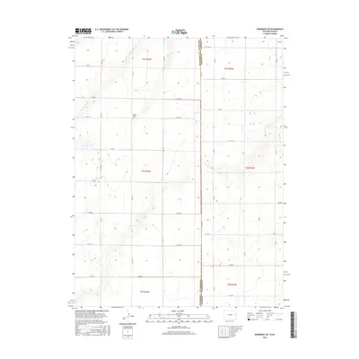
2016 Map of Kanorado NE
USGS Topo · Published 2016About this map
Kit Carson County, Colorado, meets the Kansas border at Sherman County in this High Plains landscape. The terrain is defined by the ephemeral winding of Little Beaver Creek, which carves a modest valley across the northern sections of the township. A key site for local history and genealogy is the Beaver Valley Cemetery, positioned near the western edge of the survey. The map depicts a strictly organized grid of agricultural section lines and rural thoroughfares, including Co RD HH and Co RD 58, which facilitate movement through this remote ranching and farming region. The layout illustrates the persistence of the Public Land Survey System across the state line, with clearly demarcated townships such as T7s R42w and T6s R42w forming the structural backbone of the local geography.
Find a feature on this map
29 named features on this map. Tap any name to fly to it.
Don’t see what you’re looking for? This feature index may not catch every label — zoom into the map to look around manually.
Map Details
Editions of this 2016 Kanorado NE Map
This is the sole edition of this map. No revisions or reprints were ever made.
Other maps of this area

1950 · Bonny Reservoir
USGS Topo · 1:62,500

1952 · St Francis 3
USGS Topo · 1:62,500

1954 · Limon
USGS Topo · 1:250,000

1954 · Goodland
USGS Topo · 1:250,000

1956 · Goodland
USGS Topo · 1:250,000

1957 · Limon
USGS Topo · 1:250,000

1957 · Goodland
USGS Topo · 1:250,000

1958 · Limon
USGS Topo · 1:250,000

1966 · Ruleton NW
USGS Topo · 1:24,000

1966 · Ruleton
USGS Topo · 1:24,000